VIC Feature Survey provides professional drone survey Melbourne and Victoria projects of all scales rely on for fast, accurate aerial data. Using advanced UAV technology with high-resolution cameras and LiDAR payloads, our licensed drone operators deliver precise topographic surveys, 3D models, and detailed aerial maps for construction, land development, and environmental monitoring.
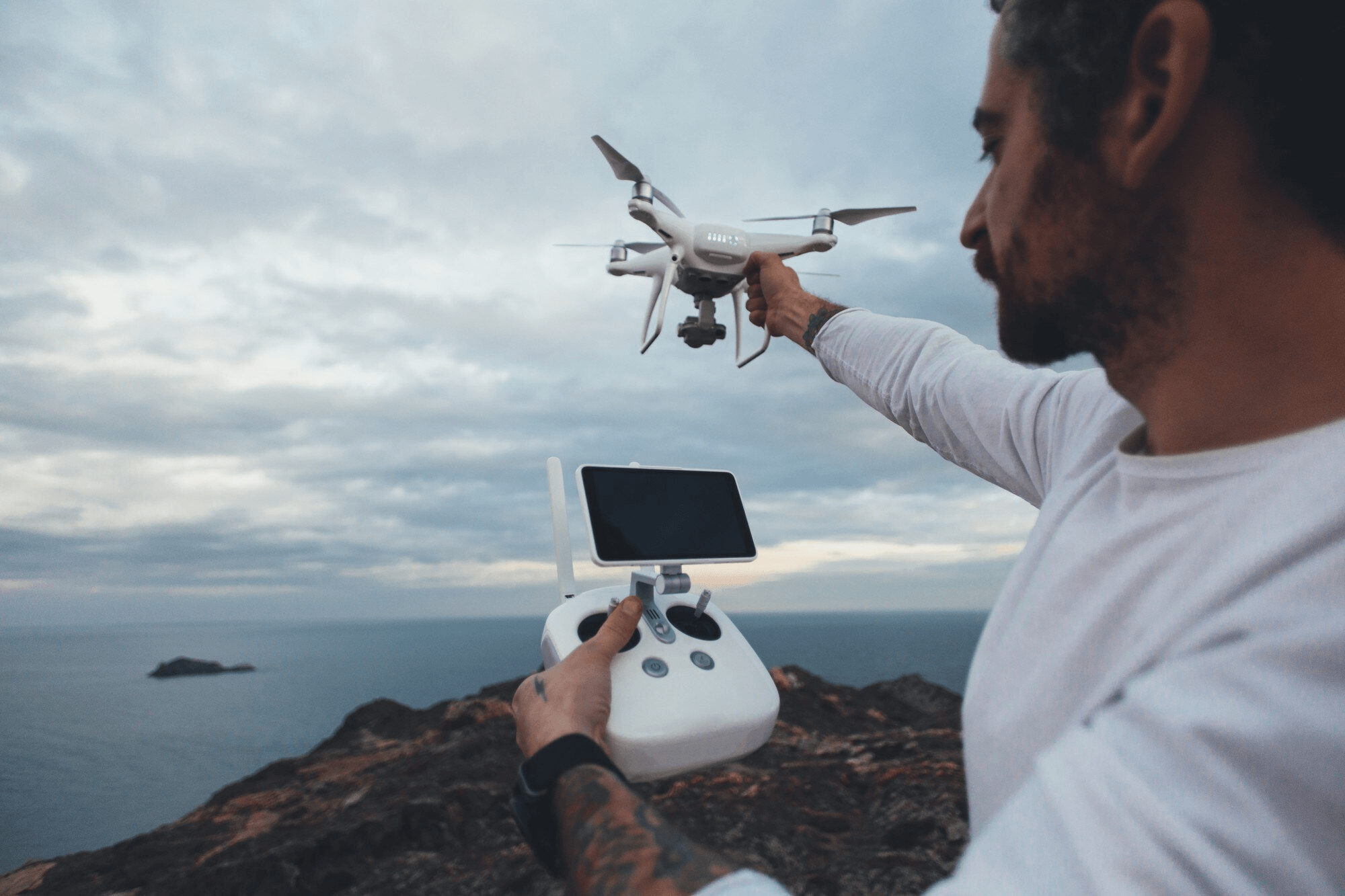
Drone surveying uses UAVs with advanced sensors like RGB cameras, multispectral cameras, and LiDAR payloads. These drones capture high-resolution data from the sky. Unlike traditional methods, they fly at low altitudes for detailed images and precise measurements. Specialized software processes the images to create georeferenced maps, 3D models, and elevation models. The final survey provides insights into land features, distances, and volumes. It delivers critical data without requiring extensive on-site work.
Cost-Effective: Compared to traditional aerial methods like manned aircraft, drone surveys are significantly cheaper, helping you save time and money on your project.
High Accuracy: With centimeter-level precision, drone surveying delivers exceptional accuracy, ensuring reliable data for decision-making.
Faster Results: Drones are faster than traditional methods, allowing for quick turnaround times and real-time data processing, speeding up project timelines.
Safe & Accessible: Drones can access difficult or hazardous terrain, such as steep slopes, coastal areas, or construction sites, providing valuable data without the risk of human exposure.
Minimal Disruption: With drones, there’s no need for heavy machinery or large teams on the ground, minimizing disruption to ongoing work and reducing downtime.
Drone mapping captures aerial images of an area and processes them into detailed maps and 3D models. High-resolution cameras and GPS technology ensure accuracy and efficiency. Our UAVs cover large areas easily, collecting valuable data. This data supports land surveys, environmental monitoring, and urban planning.
Drone mapping offers several advantages over traditional methods:
Our drone surveying and mapping services are perfect for a wide range of applications, including:
Contact us
Areas We Service for more information.
Helpful link: